
From the fjord to 1,848 metres
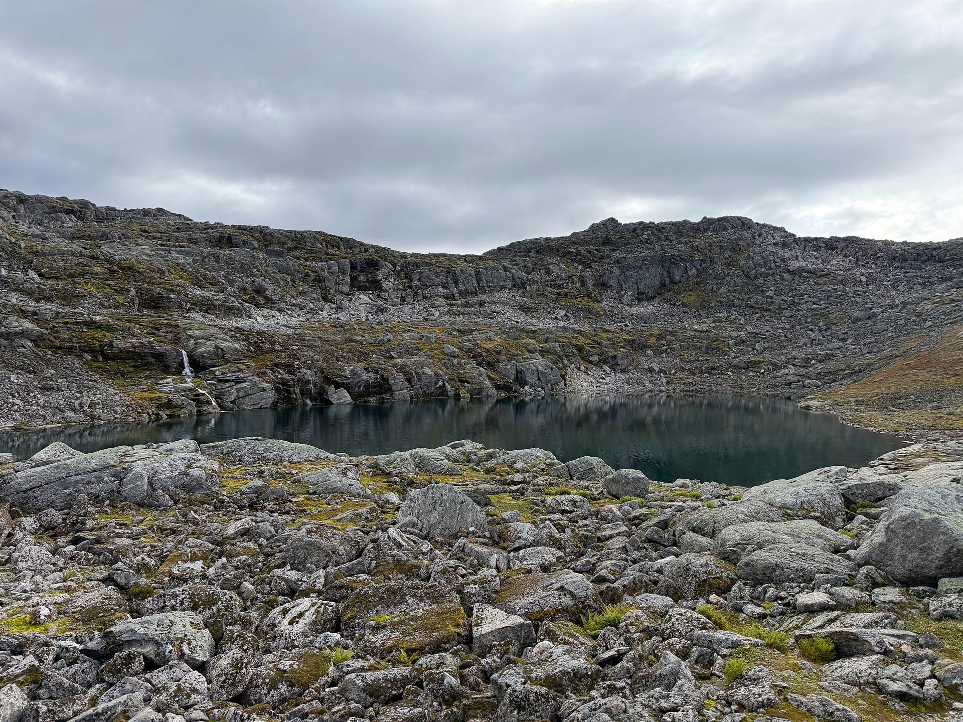
The route starts just outside Loen, close to sea level, and climbs almost the full height of the mountain. The path follows the river up through the forest, passes the lake Skålavatnet at about 1,140 metres and continues over rocky ground to the summit ridge.
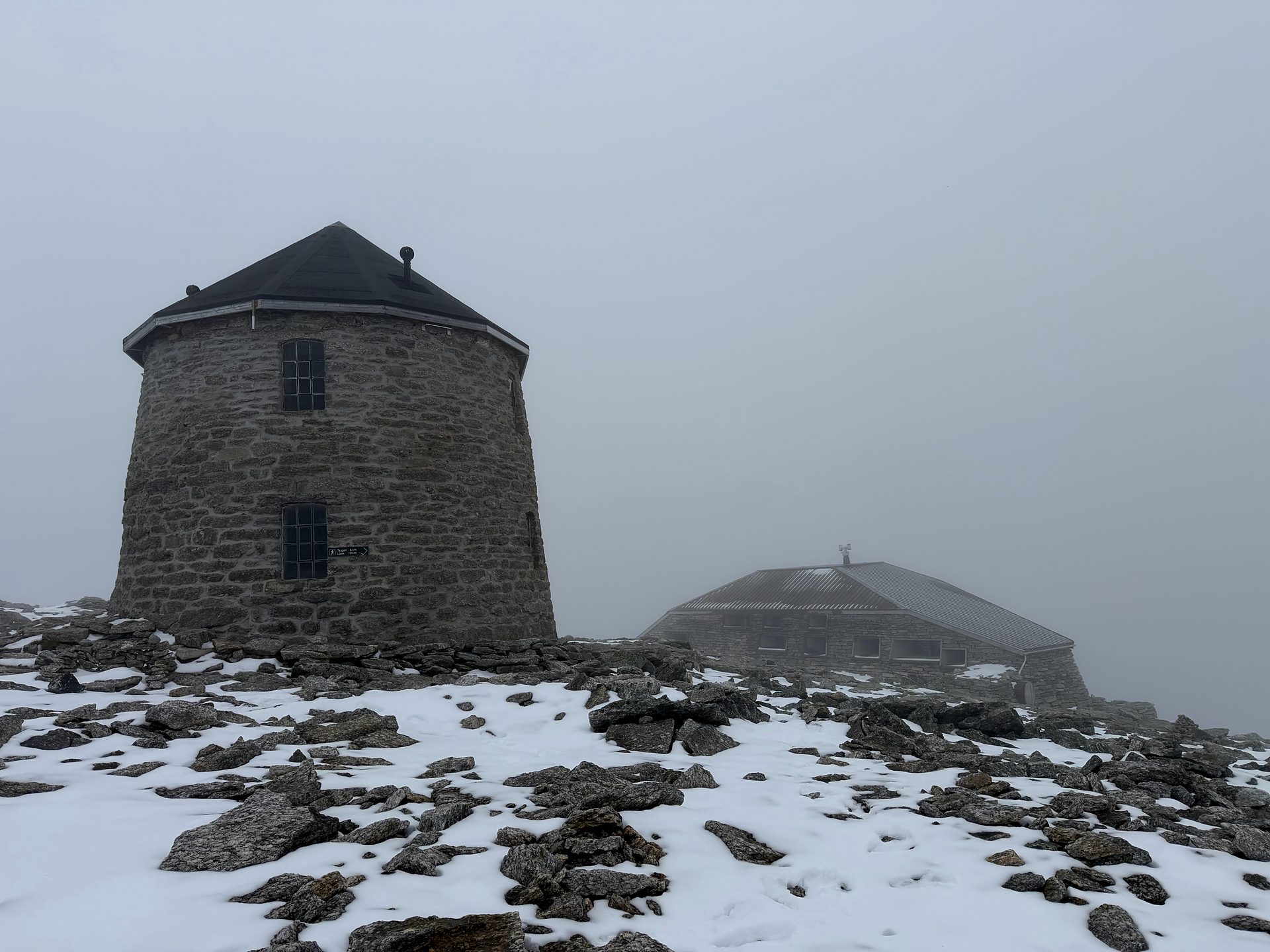
Few day hikes in Norway climb this far from the fjord: around 1,800 metres of ascent on a clear, well-used path. Near the summit, at 1,843 metres, the stone tower Skålatårnet and the Skålabu cabin stand side by side, with views across the fjord and the glacier landscape.
At a glance
Difficulty: Very demanding
Duration: Approx. 7–9 hours, including breaks
Distance: Approx. 16 km return
Elevation gain: Approx. 1,800 m
Summit elevation: 1,848 m (tower at 1,843 m)
Meeting point: Skåla car park, Loen
Season: July–September, conditions permitting
The climb to Skåla
From the car park at Tjugen, the trail follows the Fossdøla river uphill through the forest. Above the treeline, the path crosses the river on a bridge and passes the old summer farm site at Skringla on its way towards Skålavatnet.
Higher up, the terrain becomes rocky and open, and patches of snow can remain well into summer. The last stretch follows the ridge on a stone-laid path, partly in steps, to the stone tower, which was completed in 1891.
The descent follows the same route back to the car park. With so much height to lose, it is a long and tiring part of the day.
Is this hike for you?
Skåla is a very demanding hike, best suited to experienced hikers with good fitness. The climb is long and steady, and you need enough energy left for the descent, which takes several hours on its own.
The path is clear, but the upper part crosses rocky ground and may have snow. The weather at the top can be cold, windy and very different from the valley, so warm clothes are essential.
Where we meet
We meet at the Skåla car park (Skåla Parkering) at Tjugen, about 2 km from Loen along the Loelva river, where the trail starts.
Parking here is subject to a fee. Please be ready at the car park in good time before the agreed start time. If you are unsure how to get there, contact us and we will help you plan the journey.